- Home
- About BRNW
- Project Info
- Photo Calendar
- Contact
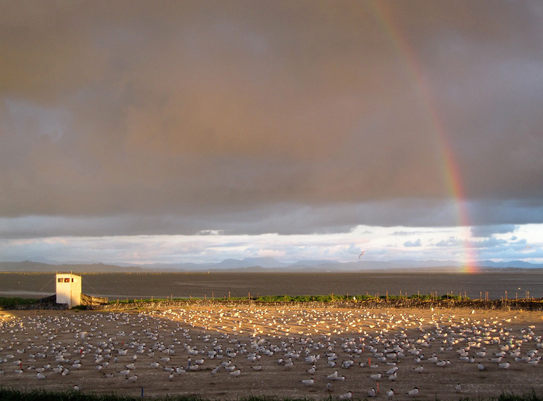
- Feature Stories
- Notes from the Field
- Disclaimer
- Site Map
A partnership between Oregon State University, Real Time Research, and the USGS - Oregon Cooperative Fish and Wildlife Research Unit